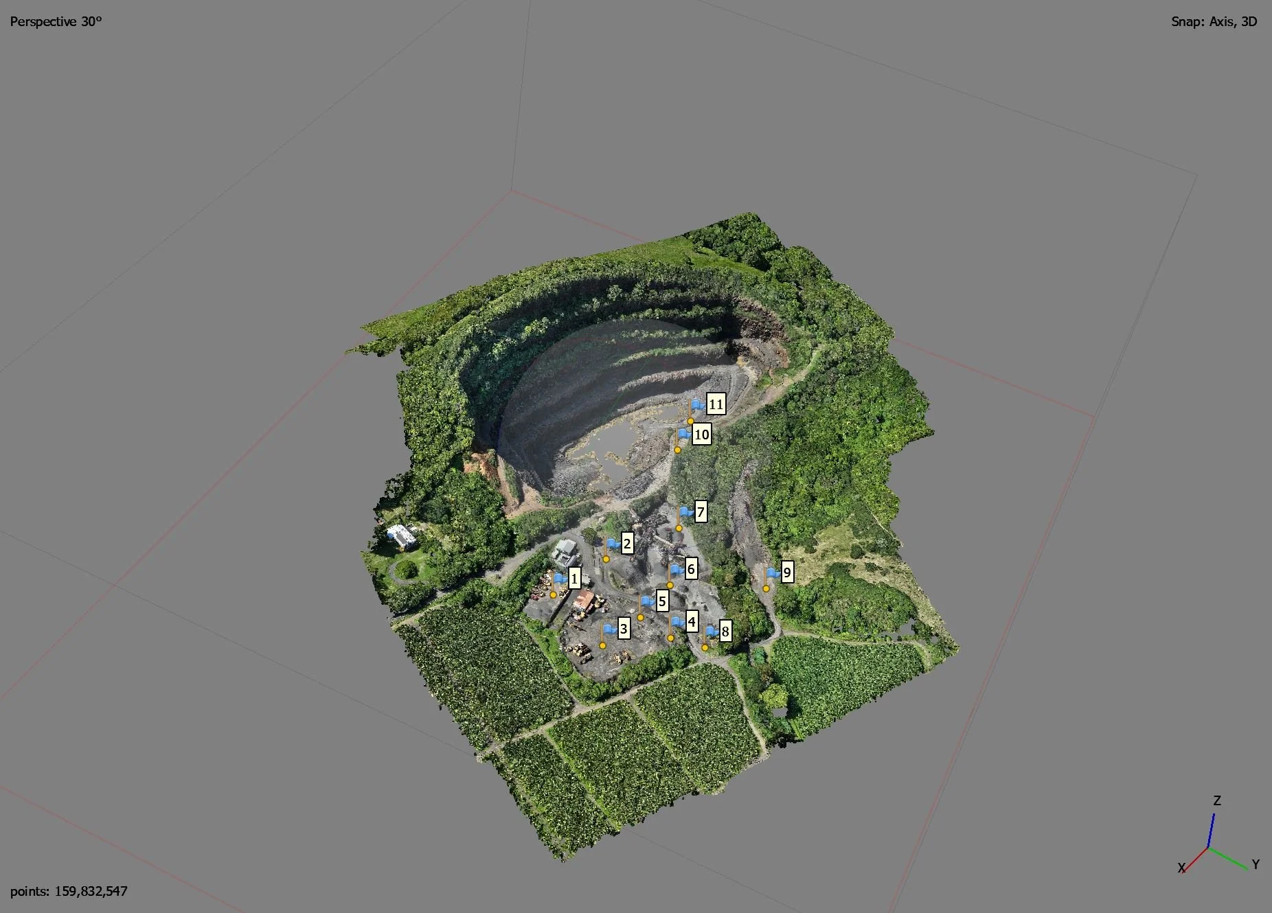
In 2015, while managing a team tasked with creating a territorial observatory at the Martinique Urban Planning Agency, I crossed paths with Steeven Maizeroi, a geomatics expert with a passion for drone piloting. Driven by a shared desire for greater autonomy, we decided to launch a company dedicated to orthophotography. With just an old laptop and a small Phantom drone, we began approaching government agencies and major construction firms in the region.
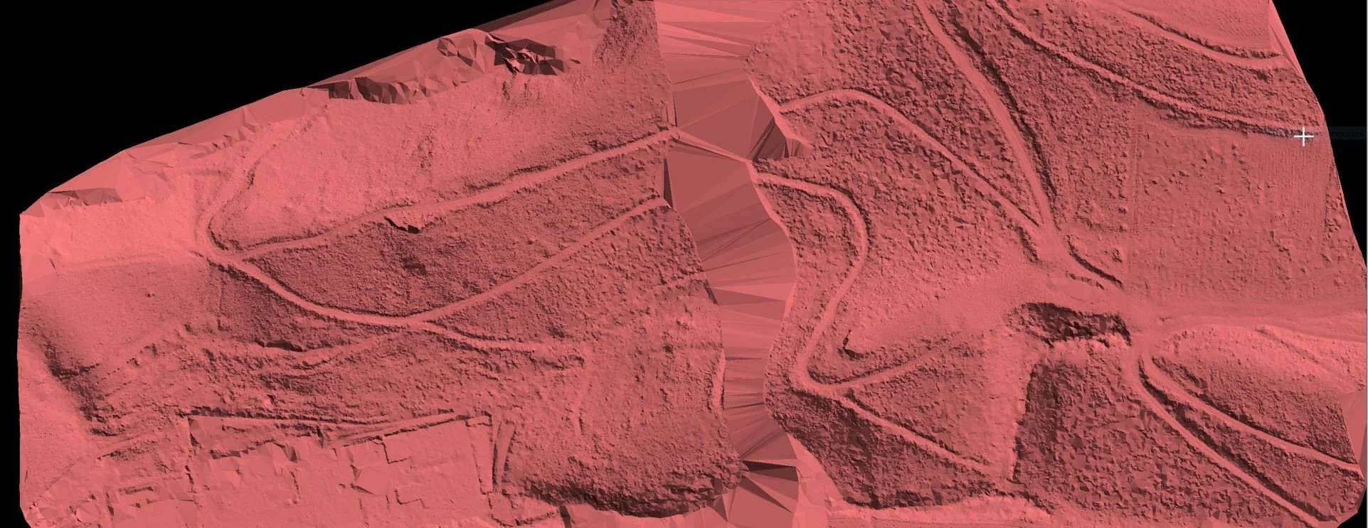
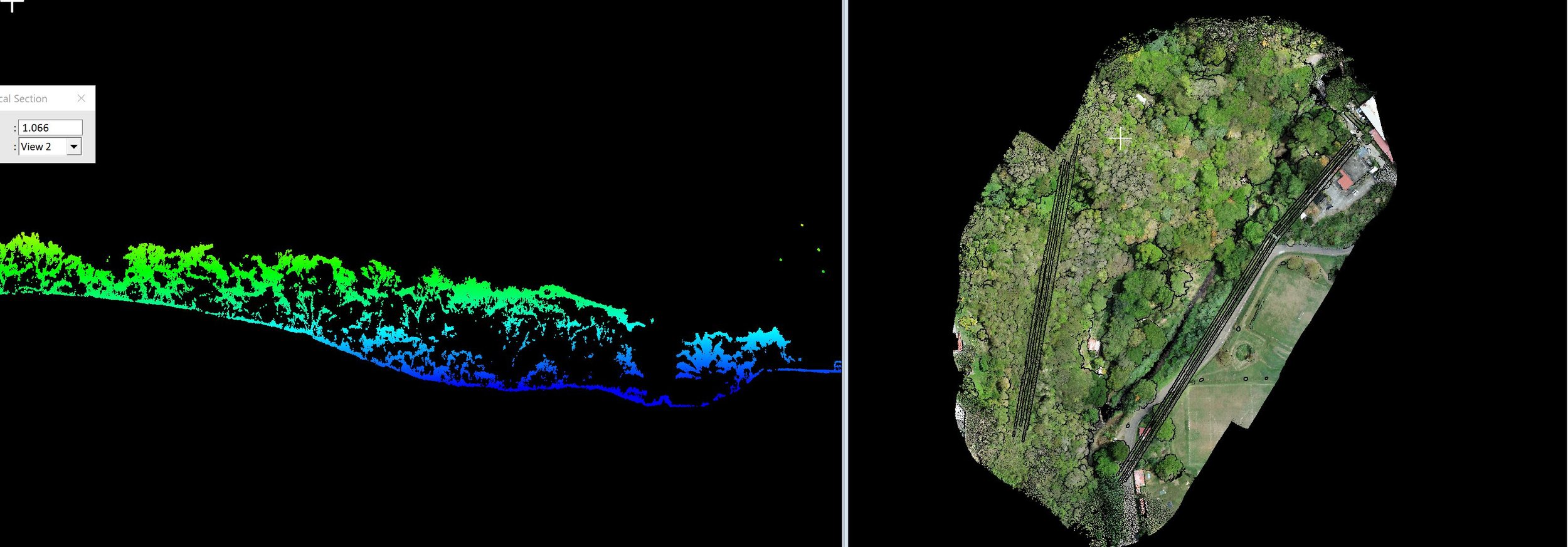
Two years later, we were working on an ambitious project to develop the first multispectral biometric indicator for sugarcane, flying a $30,000 UAV to survey the slopes of the volcano. In 2018, we also began developing methods for identifying and counting banana trees. While Steeven went on to pursue opportunities in Europe, I expanded our offerings in the Caribbean to include medium-scale mapping (200+ ha), LIDAR surveys beneath dense vegetation, digital twins and thermographic inspections.
Today, I am partnered with Boris Dupoux, a graduate of one of France’s most prestigious engineering schools (École Centrale de Marseille), specializing in industrial development and algorithm engineering. We design AI-driven solutions for automated detection and classification using drone-acquired data. With bases in Martinique and Singapore, our activities now span the Caribbean, South America, and Southeast Asia.


